

april 8 2006 weather
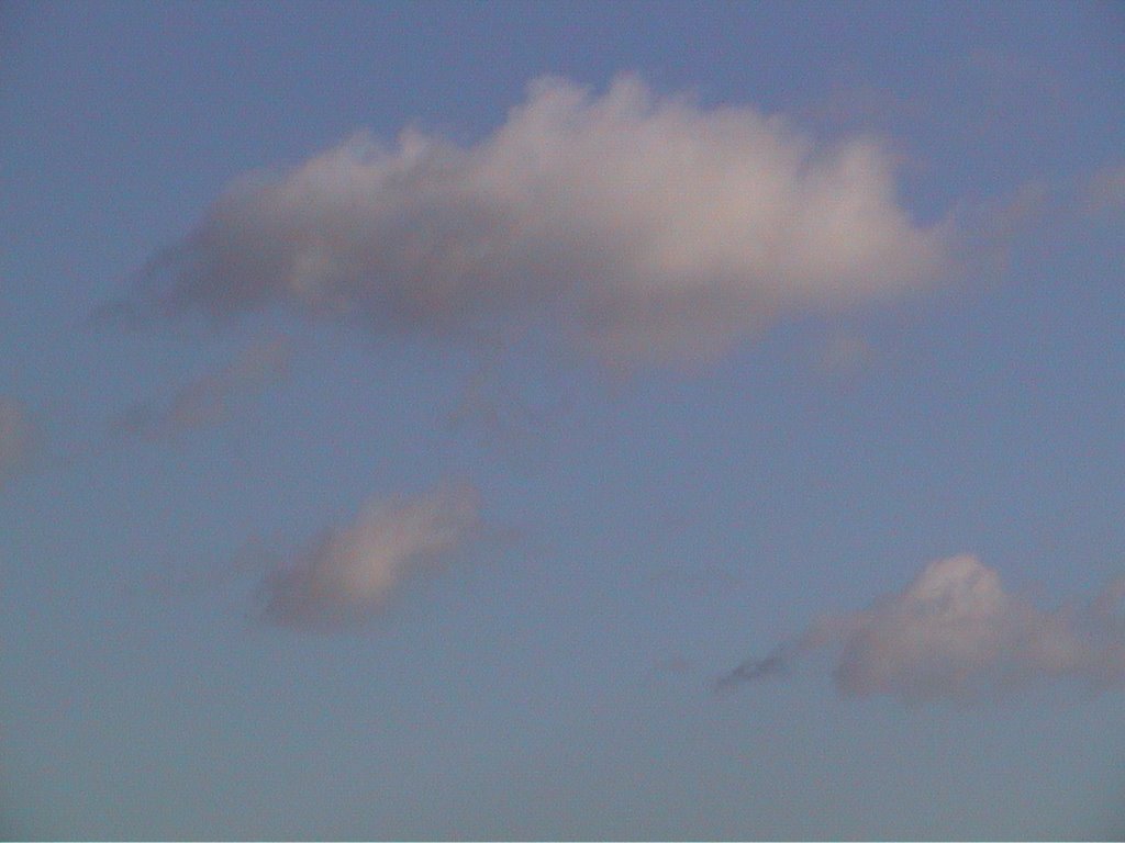 the first cumulus forming and dissolving around 7:00 am looking east
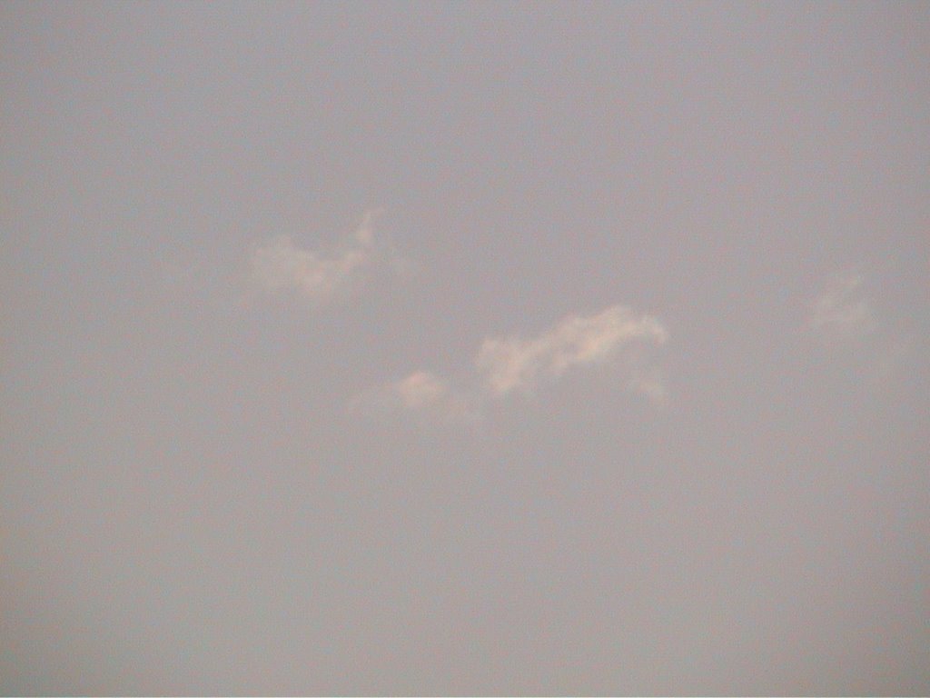 looking northwards from my kitchen window
 looking east convection started at about 7:00 am
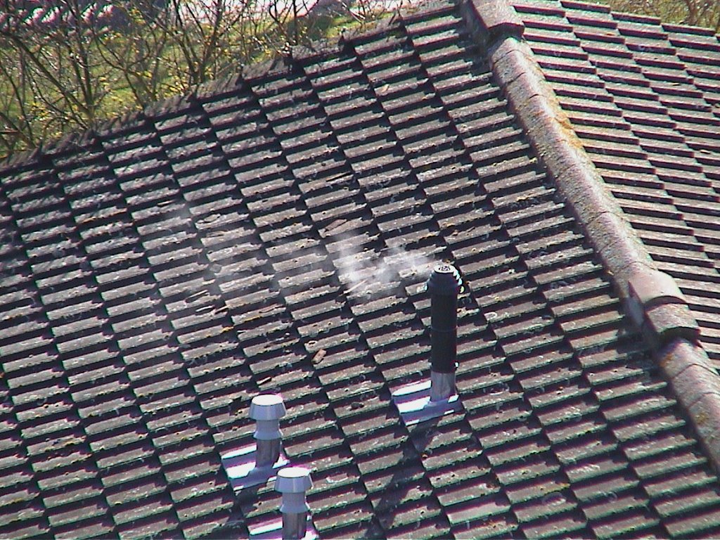 the smoke shows the surface wind direction and strength at about 8:15 am - weak, variable and southerly (this and previosus snaps with handicam zoom)
 panorama loking east of "fair weather cumulus at about 12:00pm midday
I find it very difficult to get the join up exact with the sun in my eyes
EXIF data
File: - D:\Documents and Settings\Hugh Watkins\Desktop\20060408-weather\DSC00001.JPG
ImageDescription - Make - Sony Ericsson Model - K608i
Orientation - Top left X Resolution - 72 YResolution - 72 ResolutionUnit - Inch
Software - R2L002 prgCXC1250077_EU_5_MI 2.9
DateTime - 2006:04:08 11:57:52
YCbCrPositioning - Co-Sited
ExifOffset - 302 ExifVersion - 0210
DateTimeOriginal - 2006:04:08 11:57:52 DateTimeDigitized - 2006:04:08 11:57:52
ComponentsConfiguration - YCbCr FlashPixVersion - 0100
ColorSpace - sRGB ExifImageWidth - 1664 ExifImageHeight - 432 InteroperabilityOffset - 612
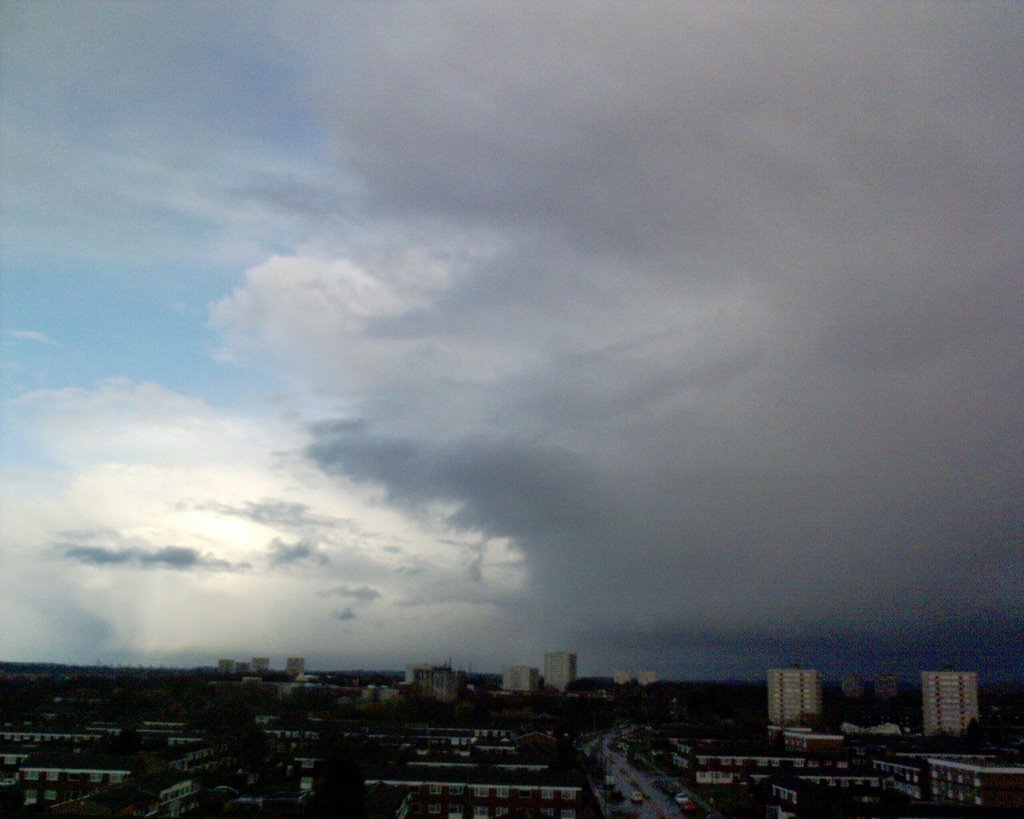 the same day at 1745 - what glider pilots call "over development" cutting off sunlight and convection
 the faint rainbow shows the april shower
 retreating eastwards Cumulonimbus Incus
which has a characteristic anvil-top INCUS shape
the flattening caused by an inversion
(layer of slightly warmer air stopping convection)
nimbus means rain
cumulus means heaped up - "cauliflower" shape was my childish description of them
Cumulonimbus mammatus at sunset to be posted later A look at cloud names
posted by Hugh W @ 12:23 am
![]()
![]()
0 Comments:
Post a Comment
<< Home